Book a tour and explore the Copper Coast UNESCO Global Geopark
Our Story
Story of the Copper Coast Geopark
UNESCO Global Geopark
Atlantic Geotourism Route
Donate
Volunteer
Discover
Geosites
Visitor Guides
Cycle Tour Maps
Visitor Centre
Cafe
Groups
Tankardstown 3D Tours
Ballynarrid Fort 3D
FAQ’s
Tours
Guided
Learn
Geology
Archaeology
Adventure Activities
Heritage
History
Built Heritage
Mining Heritage
Geological Garden
Explore
Explore The Area
Places to Stay
Places to Eat
Things to Do
Copper Coast Network
Publications
Copper Coast Connects
Contact
Book Tours
Category:
Geosites
Home
Portfolio
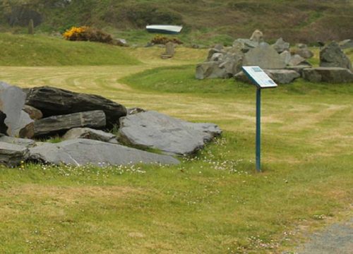
Geological Garden
Geosites
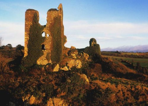
Dunhill Castle
Geosites
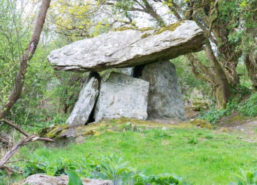
Gaulstown Dolmen
Geosites
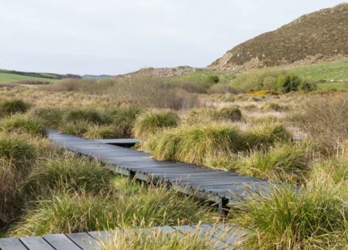
Fenor Bog
Geosites
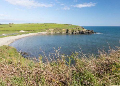
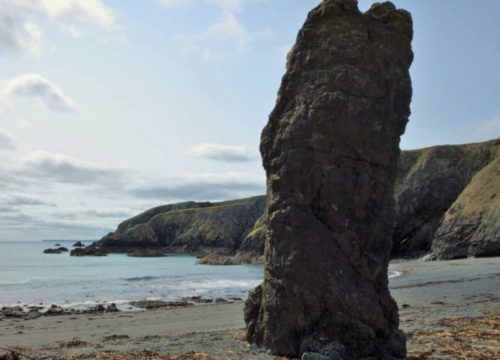
Kilmurrin Cove
Geosites
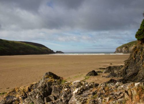
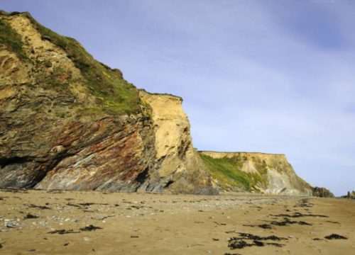
Stradbally Cove
Geosites
Knockmahon & Stage Cove
Geosites
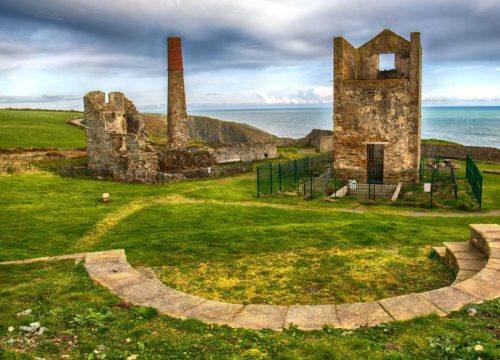
Tankardstown
Geosites
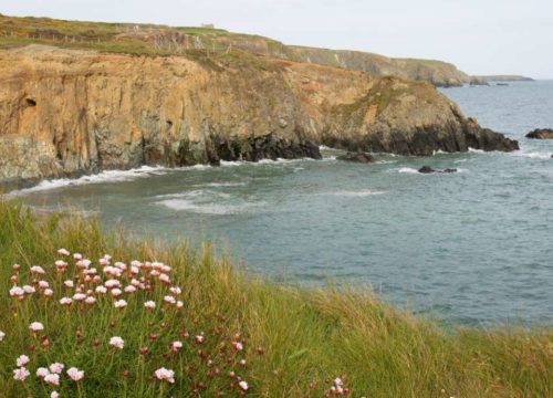
Tra na mBo and Bunmahon Head
Geosites
Kilfarrasy Strand
Geosites
Our Story
Story of the Copper Coast Geopark
UNESCO Global Geopark
Atlantic Geotourism Route
Donate
Volunteer
Discover
Geosites
Visitor Guides
Cycle Tour Maps
Visitor Centre
Cafe
Groups
Tankardstown 3D Tours
Ballynarrid Fort 3D
FAQ’s
Tours
Guided
Learn
Geology
Archaeology
Adventure Activities
Heritage
History
Built Heritage
Mining Heritage
Geological Garden
Explore
Explore The Area
Places to Stay
Places to Eat
Things to Do
Copper Coast Network
Publications
Copper Coast Connects
Contact